Site Investigation
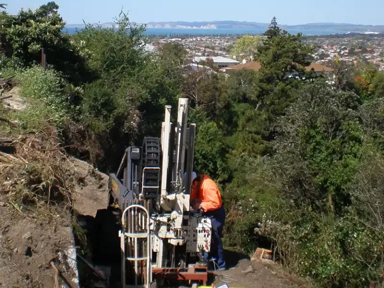
Site investigation is essential to understand the geotechnical features of any ground related project. Within our area of operations, geology can be complex with geomorphic and geotechnical features that require both in-depth and broad thinking to solve ground related problems that may arise during the project.
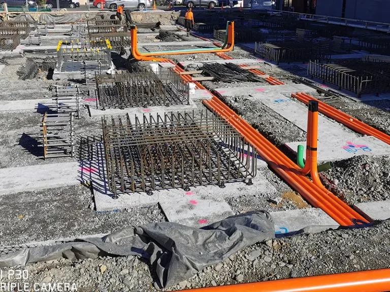
A site investigation helps understand the project risks and enable those risks to be mitigated through appropriate geotechnical design and reduce construction cost.
RDCL employ expert engineering geologists who guide geophysicists and geotechnical engineers to help ensure effective deployment of site investigations. We start from satellite imagery and large scale mapping to identify the setting in which we work and drill down into detail. It is always good to spot that huge landslide you cannot identify in a drillhole, before you build on it!
RDCL provides the following site investigation techniques:
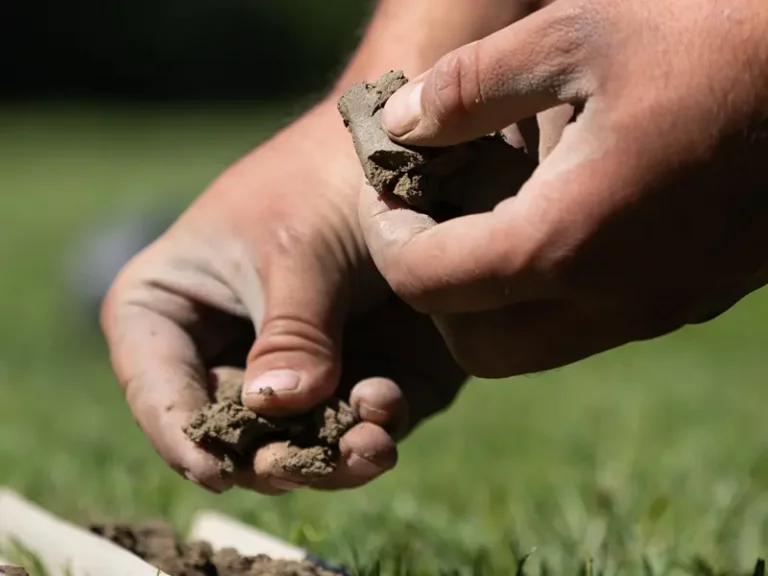
- Hand Auger, Machine Auger, Test Pit
- Dynamic Cone Penetrometer
- Shear Vane
- Cone Penetrometer Testing
- Aerial Mapping
- Slope Surveying
- Bore hole Logging
- Geophysical Testing
- Seismic Surveys (including Vs30)
- Geomorphological mapping
- Engineering Geological mapping
- Nuclear Density Meter Testing
- Clegg Hammer Testing
Based on project scope, the appropriate techniques are applied to help design and de-risk the site.